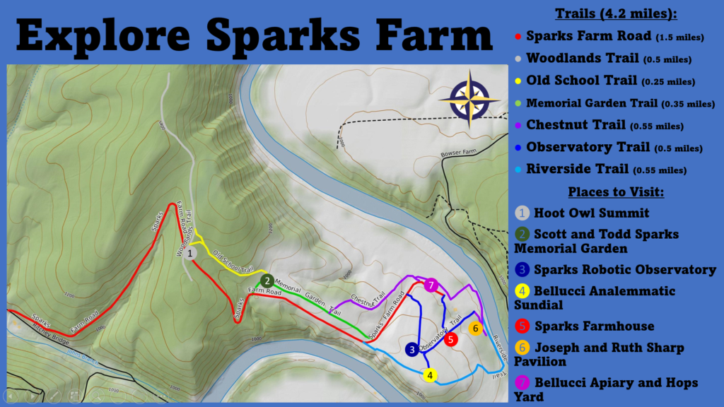
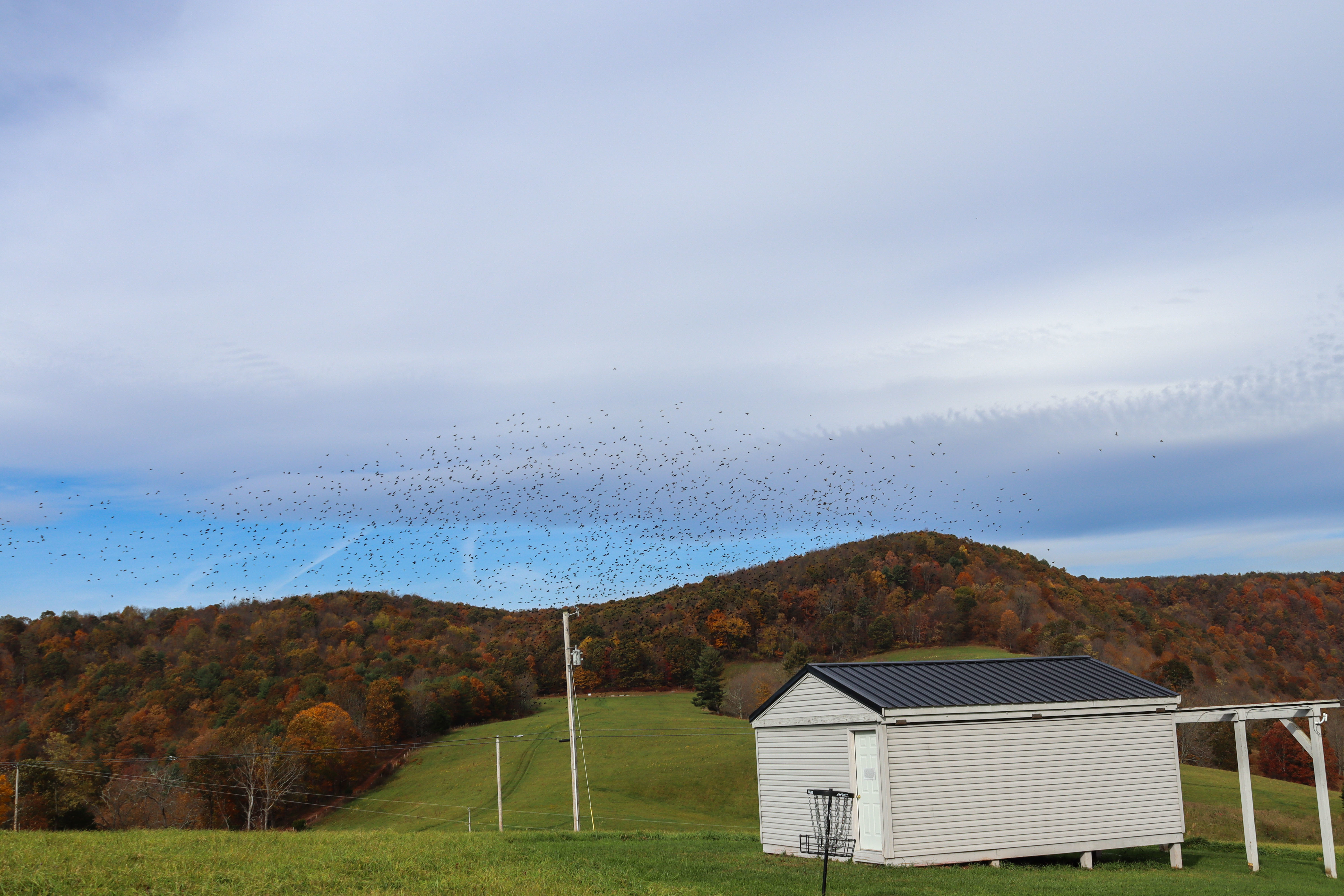
Sparks Farm is a 447-acre property in Bedford County, Pennsylvania owned by Juniata College and to be used as both an educational resource and a wildlife reserve. The primary groups of wildlife that the property is managed for and which can be seen at the farm are pollinators, grassland birds, wetland birds, and mammals (Sparks Farm Habitat Management Plan, n.d.). Educational features include the observatory, apiary, and work with the American Chestnut Foundation. Visitors can experience these features by hiking the 4.2 miles of trails across the forest and old farm fields of the property. The trails feature some slight elevation changes, but should be manageable for people of all ages and fitness levels. Above is a map of Sparks Farm with all of the trails mapped and some of the key locations on the property labeled. Below is a video describing the trails at Sparks Farm along with information about unique plant species and opportunities for birding on the property.
To download a PDF of the trails map, click here.
Sparks Farm Habitat Management Plan. (n.d.). Juniata College Raystown Field Station. Retrieved December 6, 2022, from https://moodle.juniata.edu/pluginfile.php/458601/mod_resource/content/1/Sparks%20Farm%20Habitat%20Management%20Plan_Fall2021.pdf
Sparks Farm Road
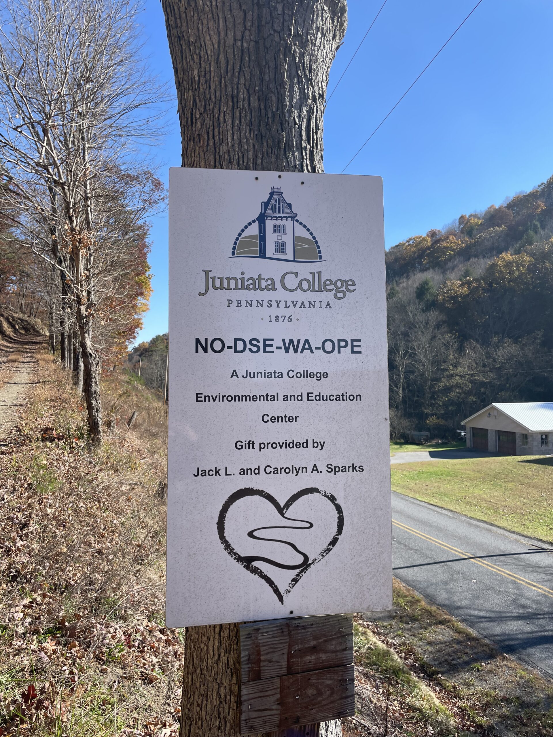
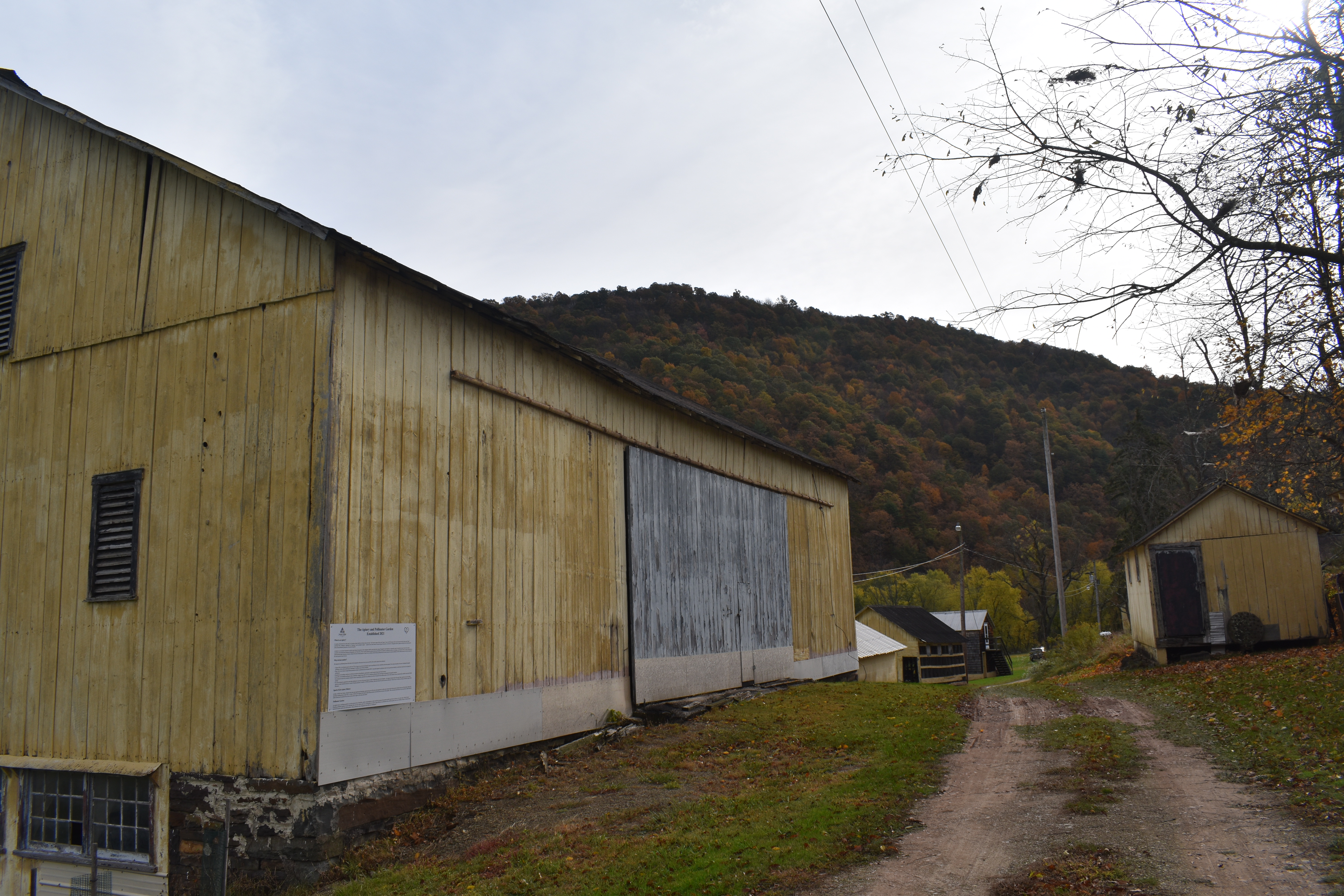
Sparks Farm Road is the longest trail at the farm at roughly 1.5 miles long. It is possible to drive a vehicle on this trail; however, visitors should note that the road is not paved and an all-wheel drive vehicle is recommended. The trail begins along Ritchey Bridge Road at a sign for the Juniata College Environmental Education Center provided by Jack and Carolyn Sparks. The sign references the Native American history with the words No-Dse-Wa-Ope. From there, the trail winds through the forest up to Hoot Owl Summit and then opens up at the Scott and Todd Sparks Memorial Garden (to the left). From there, the trail passes through the old farm fields until it reaches the Sparks home and various farm buildings. In this area, the Bellucci Apiary is present along with the Hops Yard. Whether walking or driving, a trip on Sparks Farm Road offers a variety of natural sights in a peaceful landscape.

Woodlands Trail
The Woodlands Trail is a 0.5 mile walk through the wooded summit at Sparks Farm. The beginning of this trail is seen on the road into the farm at the sign for Hoot Owl Summit. This location is the highest point of the drive into the farm and is a quiet forested area.
Hoot Owl Summit received its name from the owls the Sparks family would frequently hear at the location. If you are heading in to the farm, the Woodlands Trail continues for a short distance to the right, and a longer distance to the left. The trail offers beautiful forest scenery and some views of the river valley below. It includes some slight elevation changes. This trail ends when it reaches a Y intersection with another trail and exits the Sparks Farm property.


Old School Trail
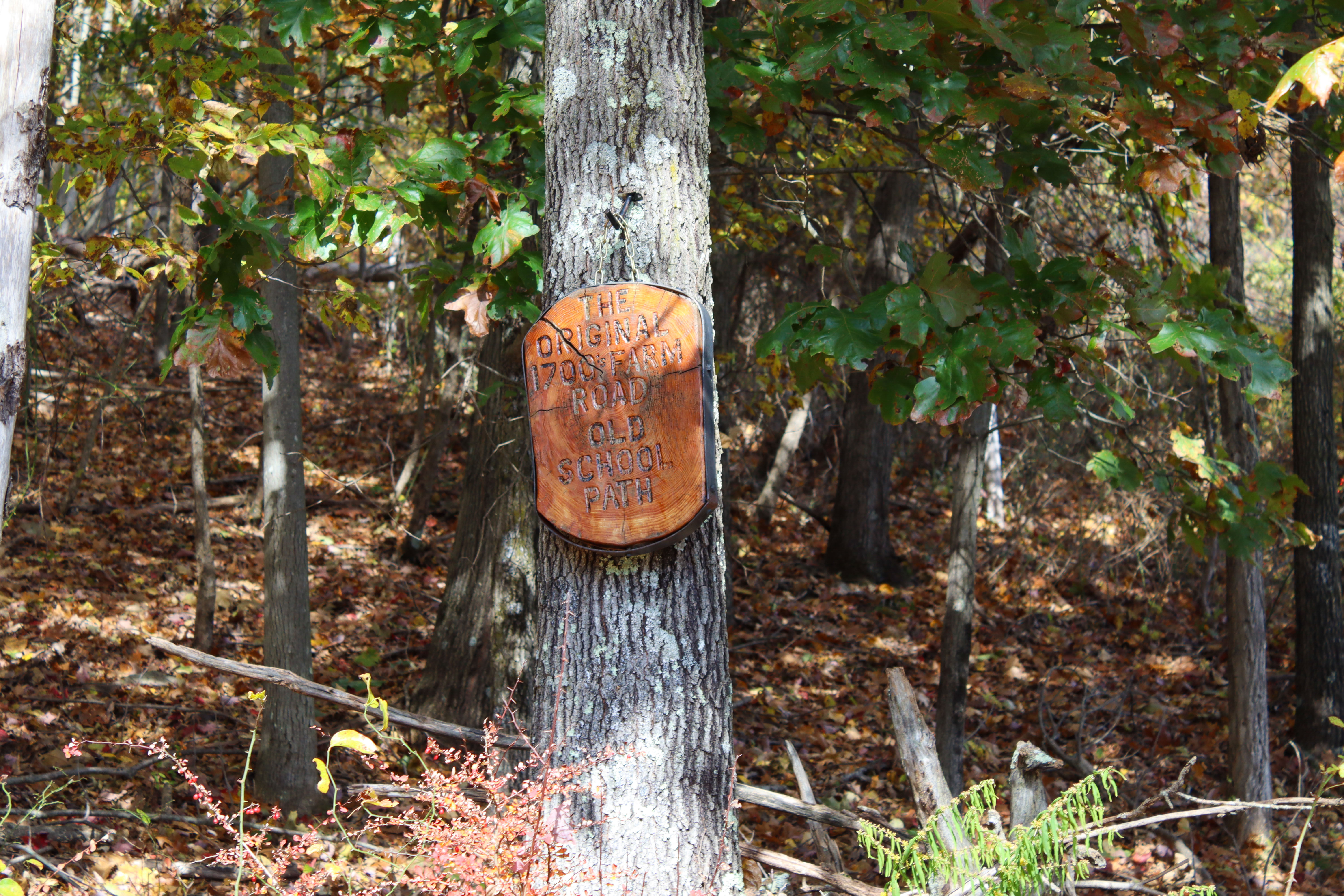
The Old School Trail is 0.25 miles long and leads from the Scott and Todd Sparks Memorial Garden to Hoot Owl Summit. It features significant elevation changes being entirely uphill or downhill depending on the direction taken. This trail is marked entirely with bright yellow, easy to spot blazes. As described by Jack Sparks, in the past, this trail was used as the path he would take to school and it also forms part of the original road into the farm.
Jack Sparks in interview with Science and Society class, September 2022.

Memorial Garden Trail
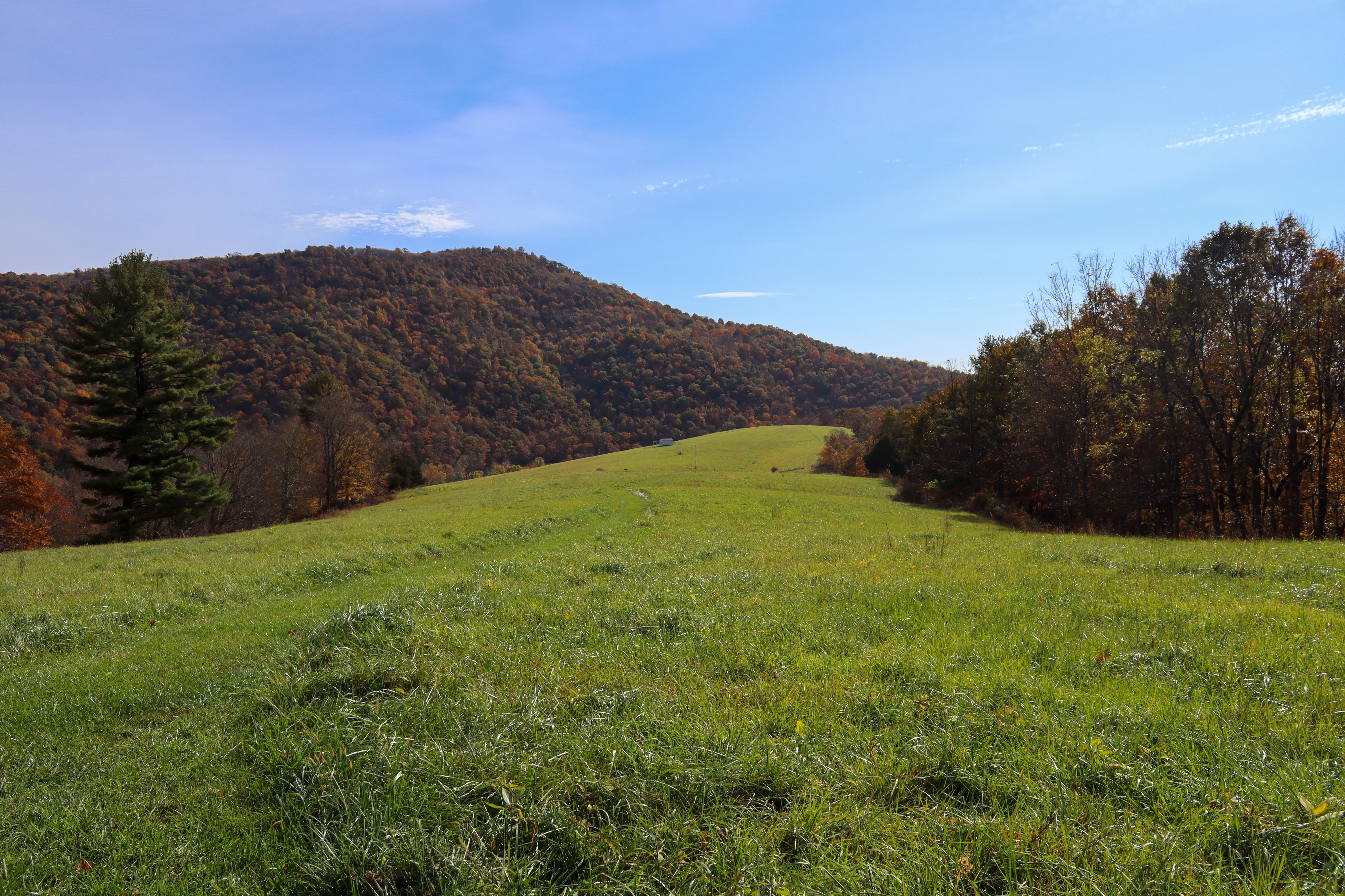
The Memorial Garden Trail is 0.35 miles long and begins at the Scott and Todd Sparks Memorial Garden. The Memorial Garden features the labyrinth, a meditation path in a double spiral, and the be mindful garden. It then traverses through a field and can be used with the Observatory or Chestnut trails to reach the house area by foot. The quiet walk through picturesque farmland and the meditative Memorial Garden offer a pleasant natural escape.


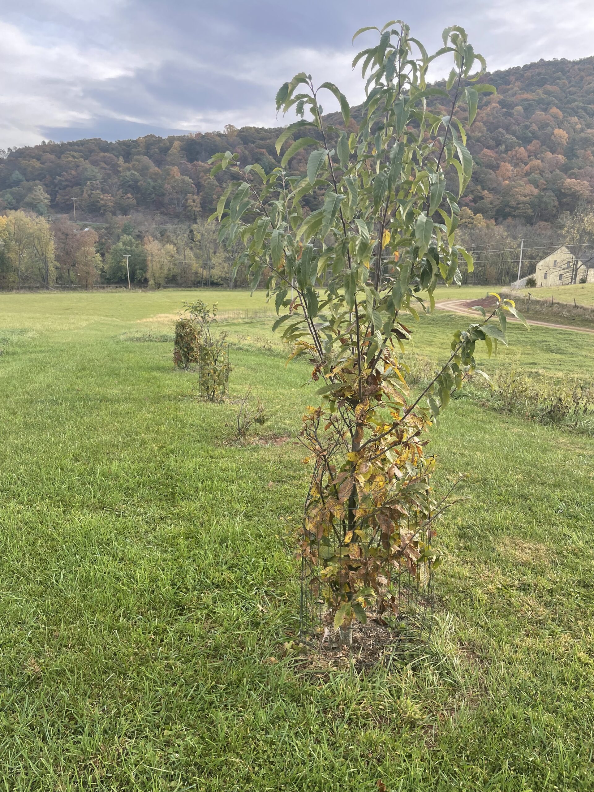
Chestnut Trail
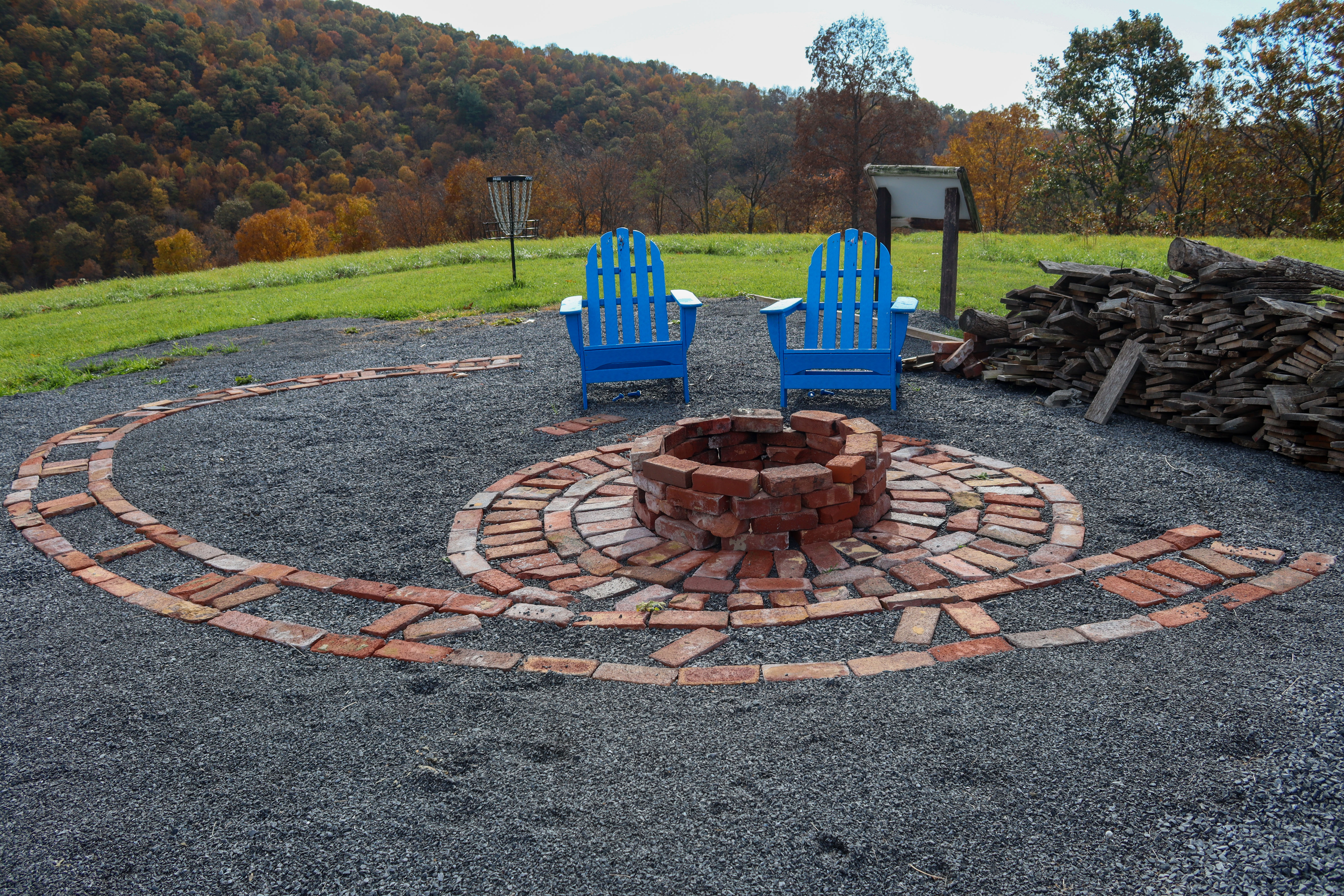
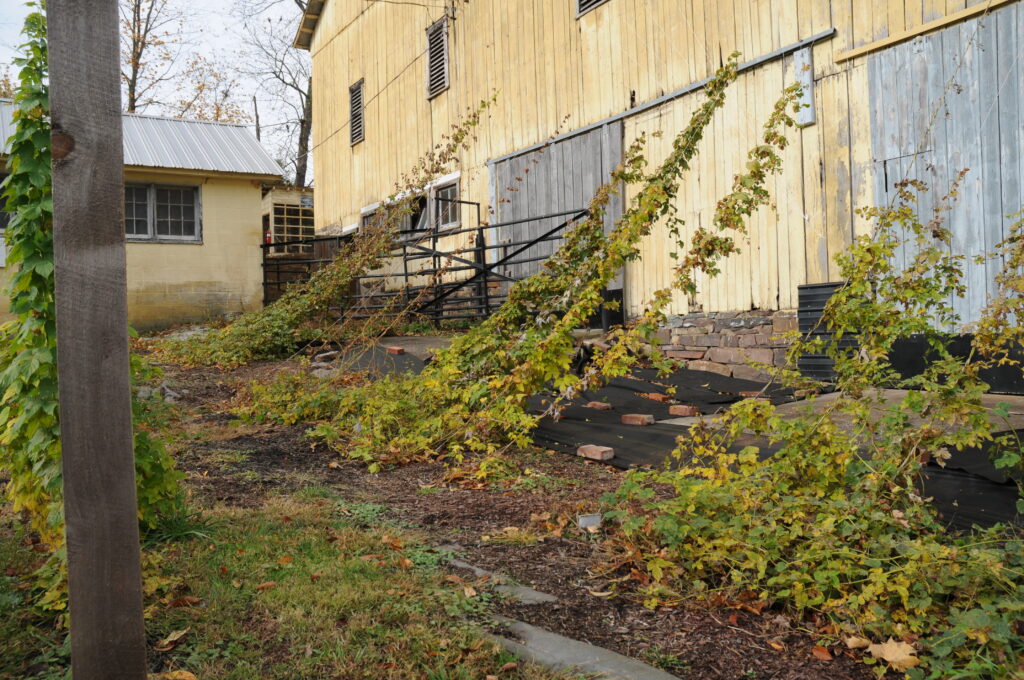
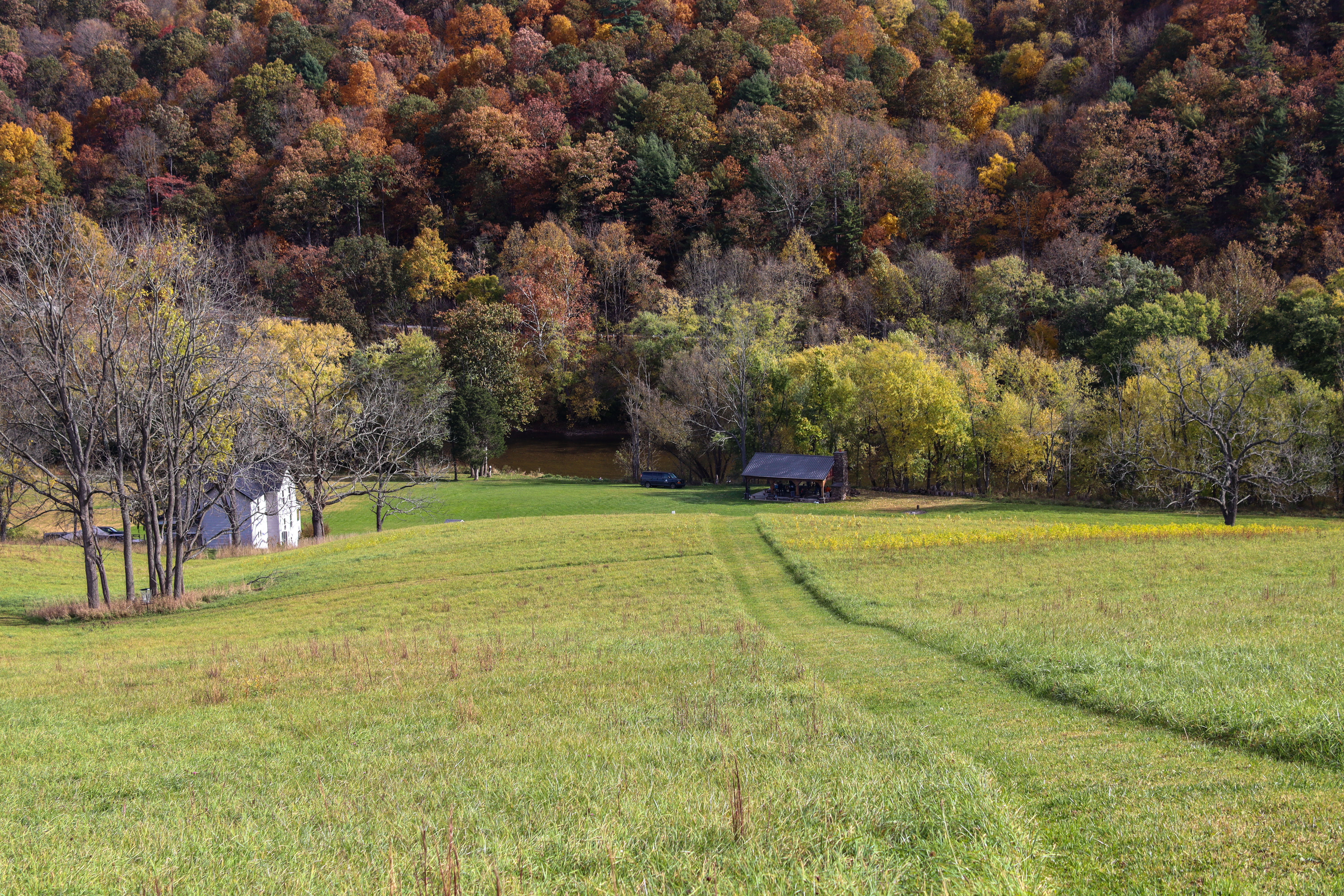
Walking the trails at Sparks Farm allows visitors the rare chance of seeing Chestnut trees. The American Chestnut tree was wiped out by the Chestnut Blight, but two locations along the 0.55 mile long Chestnut Trail provide the opportunity to see chestnut trees alive and well in Pennsylvania. In addition to these trees, the trail also passes close by the Bellucci Apiary and the Hops Yard. Finally, the trail ends with a view of the Raystown Branch of the Juniata River at the Joseph and Ruth Sharp Pavilion.
The American Chestnut Foundation (TACF) has the primary goal of restoring the American Chestnut to it’s previous prominence throughout North America. In the 1800s, when Asian Chestnuts were brought to the Americas, they brought a fungal disease that American Chestnut trees had no resistance to, causing them to be eradicated. The foundation uses biotechnology and breeding to develop an American Chestnut tree that resists the Chestnut Blight (The American Chestnut Foundation, n.d.).
The American Chestnut Foundation. (n.d.). About TACF & Our History. The American Chestnut Foundation. Retrieved December 6, 2022, from https://acf.org/about-us/

Observatory Trail
The Observatory Trail features 0.5 miles of mowed paths traversing the hillside behind the Sparks Farmhouse. The observatory and sundial are two interesting scientific landmarks that can be visited on this hill. Upon reaching the top of the hill, hikers will reach a large square building. This is the Sparks Robotic Observatory, which houses four telescopes that can be operated remotely from the Juniata College campus in Huntingdon, Pennsylvania. Continuing up the hill, visitors will encounter the Bellucci Analemmatic Sundial, which describes the process for which users can tell the time using their shadow. By hiking the half mile Observatory Trail, visitors will see these unique landmarks.


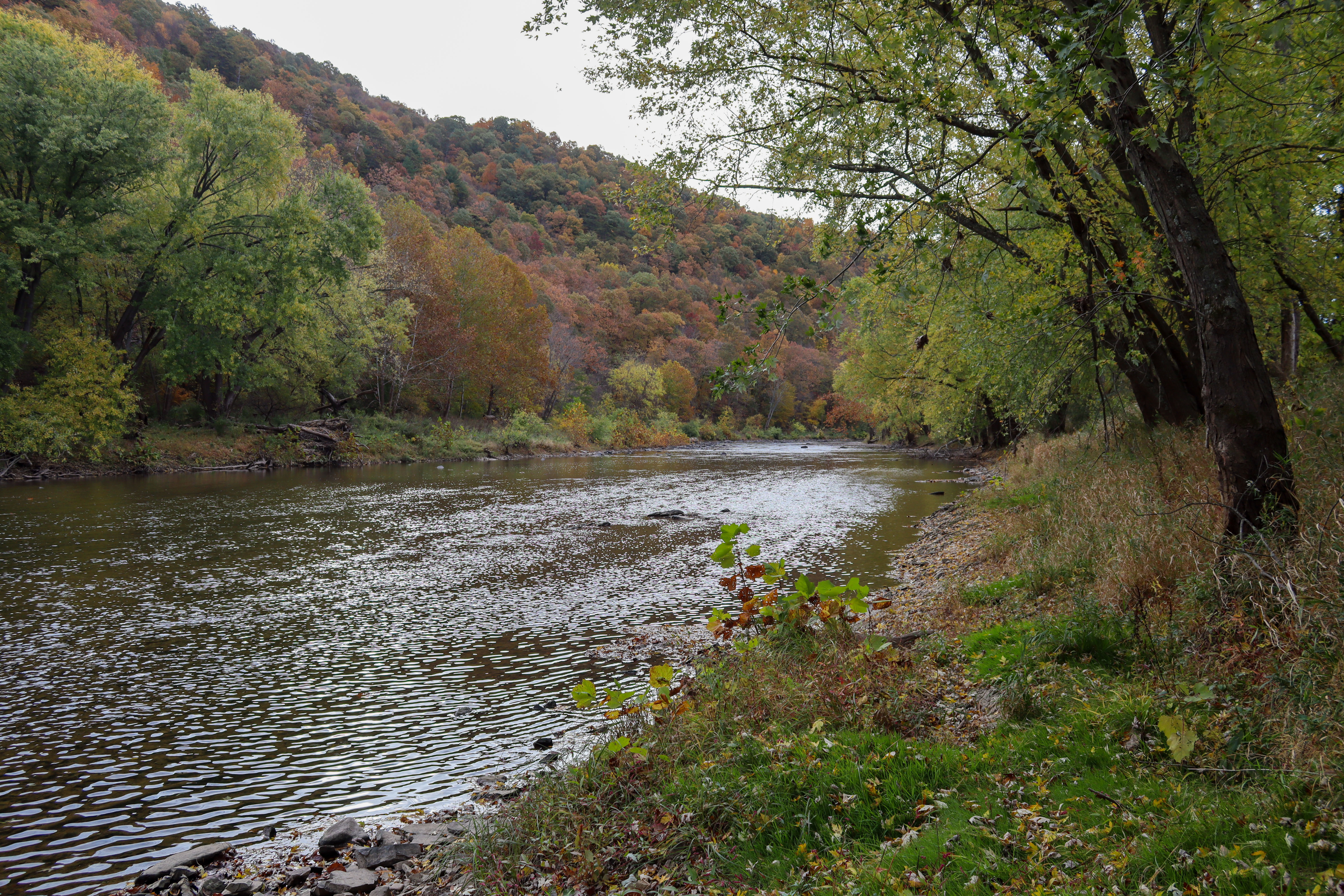
Riverside Trail
The Riverside Trail is 0.55 miles long and begins with a nice flat hike along the Raystown Branch of the Juniata River. It begins near the Joseph and Ruth Sharp Pavilion. The trail then climbs the steep hill up to the sundial and ends on the other side of the hill where it intersects with the road. When passing over the hill, to the left hikers can see the view of the river below the steep cliff face. Whether immediately beside the river or far above it, the Riverside Trail provides a beautiful walk along this peaceful body of water.